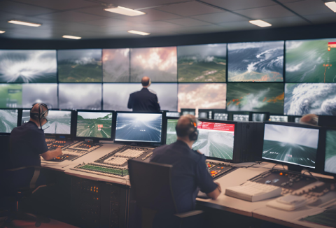
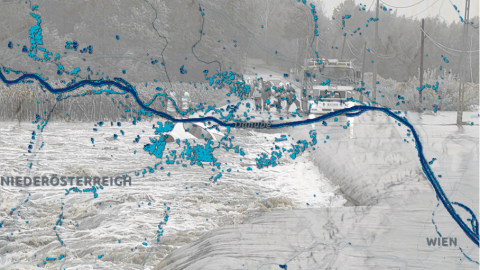
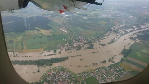
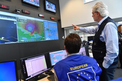
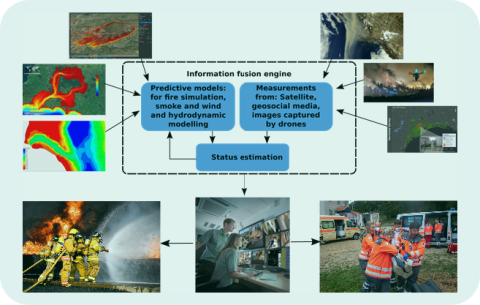
In the past decade, deep learning has made remarkable advancements in various fields, but neural networks are often considered black boxes due to their complex inner workings. The emerging field of explainable artificial intelligence (XAI) seeks to make these models more transparent, complying with the new legal requirements under the EU AI Act. The TEMA project aims to apply XAI methods to natural disaster management, potentially enhancing prediction accuracy and assisting emergency responders in making informed decisions.
This article explores how technology can improve natural disaster management in Finland, making a connection with European areas that, like Finland, were historically less bound to experience natural disaster but that are now facing issues as consequence of climate change.
To effectively address the multifaceted challenges posed by climate change, it is crucial to comprehend its various dimensions. In particular, the impact of climate change is closely linked to water, accounting for 90% of its consequences. The extremes of excessive water, resulting in flooding, and insufficient water, causing drought, have a substantial impact on both food security and water availability. Therefore, a thorough understanding of water dynamics becomes imperative for effective adaptation and mitigation strategies.
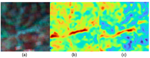
Deep neural networks have shown great empirical success in the last years, but their inner working often remained elusive. XAI methods aim to open up the black box of such opaque models at the heart of many modern machine learning and artificial intelligence applications.
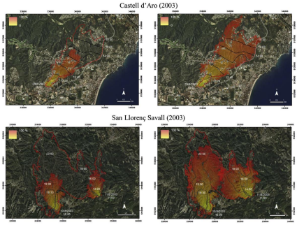
Wildfires, with their devastating impact on ecosystems and communities, present a formidable challenge in natural disaster management. In response, a pioneering approach has been developed, synergizing satellite imagery, rover exploration, and sophisticated algorithms
Tuscany, Italy, known for its landscapes and rich historical heritage, recently bore the brunt of devastating floods, leaving communities in disarray in their wake. These calamitous events have once again underscored the critical need to address the escalating frequency and severity of natural disasters through innovative solutions. A key path forward involves harnessing the formidable power of technology through collaborative efforts between the public and private sectors, alongside research institutions.
When a natural disaster occurs, it is particularly important to obtain information about which regions are affected as quickly as possible. Remote sensing data, especially from earth observation satellites, is often used to analyse the course of natural disasters. However, most satellites are on fixed orbits or have to be explicitly tasked in order to take images of a certain region. This always results in a time delay.
Significant progress has already been made in the area of data analysis in recent years, which has led to a speeding up of the process. However, the activation of satellite-based emergency mapping (SEM) is still a manual action by an authorised user. The identification of an area of interest (AOI) for explicit tasking, i.e. controlling the satellite for image acquisition, is also necessary in advance.
This article briefly discusses the roles that AI can play in climate change mitigation, adaptation, and resilience. Departing from a presentation on how AI can be used to tackle climate change, it presents how AI use has been embedded in sustainable agendas and how TEMA is part of the effort to explore the full potential of this technology.