Background Image for header that show a weather storm

TRUSTED
EXTREMELY PRECISE
MAPPING AND PREDICTION
FOR EMERGENCY
MANAGEMENT

TEMA

The Project
in a Nutshell

TEMA is a four year long project funded by the European Union flagship research and Innovation programme Horizon Europe, under the call HORIZON-CL4-2022-DATA-01-01 “Methods for exploiting data and knowledge for extremely precise outcomes (analysis, prediction, decision support), reducing complexity and presenting insights in understandable way”.

The objectives of TEMA are specifically to:

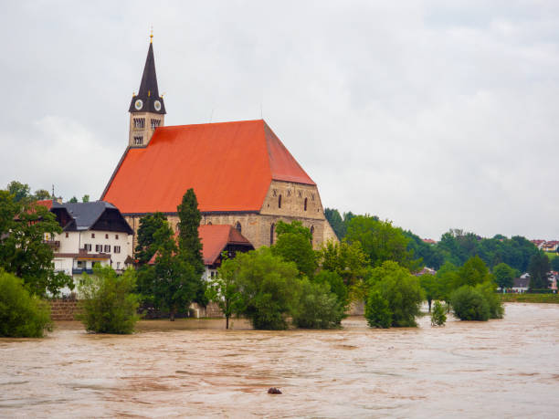
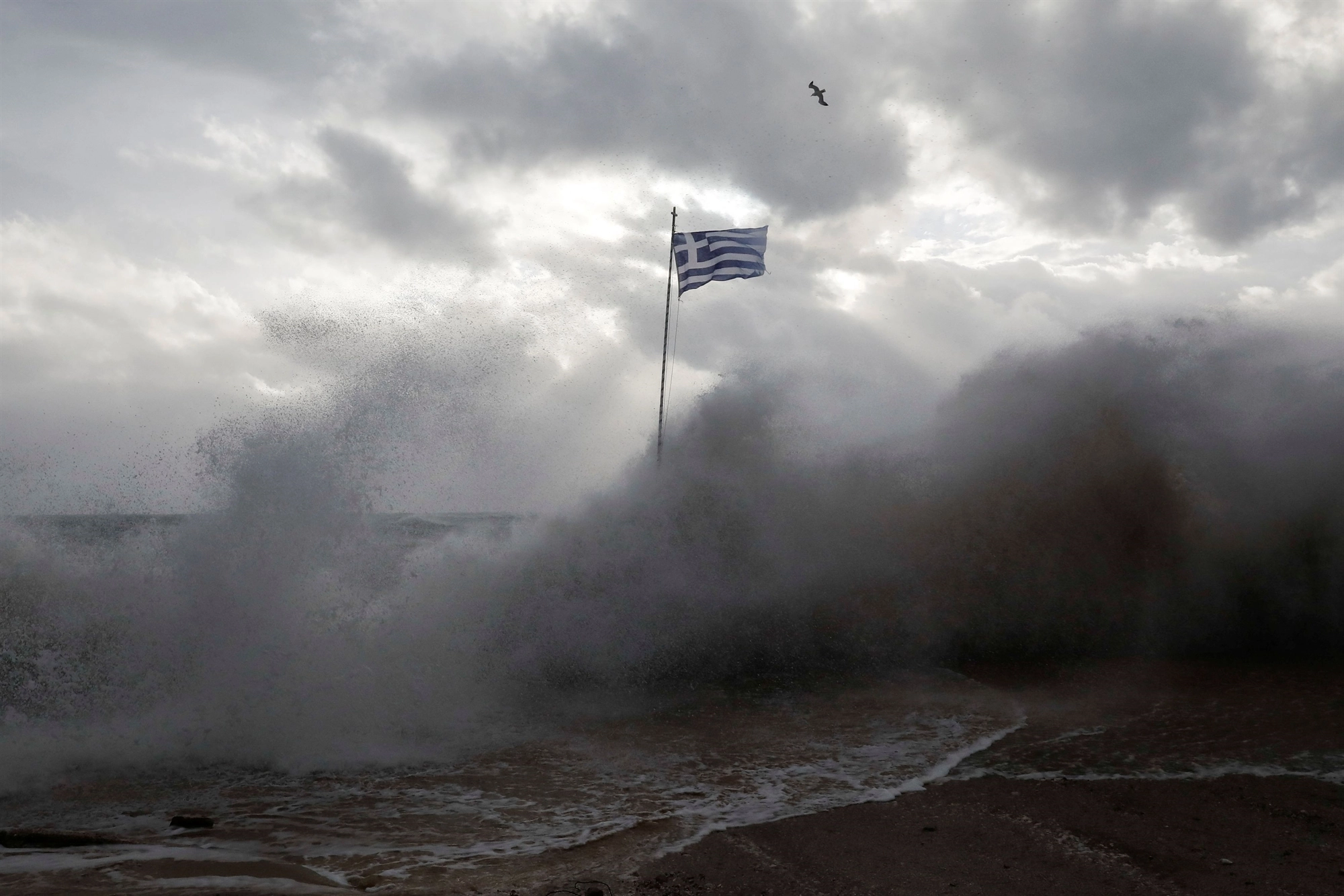
  1. Improve Natural Disaster Management using new digital technologies and extreme data analytics;
  2. Improve and accelerate extreme data analytics, by increasing trustworthiness, accuracy and responsiveness of extreme data analysis algorithms;
  3. Improve and accelerate emergency phenomenon modeling, evolution predictions, simulation and interactive visualization;

The goal of TEMA is to deliver a technical solution that is supportive in disaster response and management by bringing situational data to relevant end-users, enabling transferability to tackle different disaster types in various geographic region thus providing the relevant information that can help make the best possible operative decisions. TEMA will provide a tool that:

  • is an AI-enabled Natural Disaster Management platform that will allow precise replication and modeling of real events;
  • offers precise semantic 3D area mapping and NDM event prediction over a long time period;
  • has interactive, intuitive and accessible visualization enabled by advanced augmented reality.

It will allow human operators to understand complex Natural Disaster Management phenomena and easily evaluate alternative response strategies by a smart selection of platform parameters and by novel ways of combining heterogeneous (visual and non-visual) data and/or augmented reality.

Background Image: a cloudy and gray sky

Why is it important?

TEMA will improve Natural Disaster Management by providing a state-of-the-art disaster management support system, dynamically exploiting multiple data sources and AI technologies for providing an accurate assessment of an evolving crisis situation.

TEMA solution, that will be able to provide predictions on the evolution of phenomena in (near) real time, will be useful to stakeholders like Civil Protection Agencies and First Responders for increase situational awareness for defining recommendations and guidelines to adopt when dealing with a complex emergency.

TEMA

The Project’s
Numbers

20
PARTNERS
involved in the project
4
YEARS
of project duration
11
MILLIONS
of € funded
TEMA

Project Pilots

Central-European Regional Floods (Germany)

Central Europe, due to presence of big rivers, can experience heavy persistent rains that cause regional floods, as happened during July 2021 in the German region of Ahrtal. In this pilot, a flood model will be set-up for the area and calibrated based on information retrieved from historic flood events, including the Ahrtal flood. The objective of TEMA is to provide information to be used to warn the responsible authorities, population and public protection, and provide information about the accessibility of the affected region leading to improved NDM.
Bavaria floods

Mediterranean Flash Floods (Greece)

The geomorphology and hydrological characteristics of Mediterranean catchments render such areas particularly prone to flash floods. The Greek pilot land area is among these, therefore, considering also the mega-fire occurred in August 2021, a flood model will be set up for the area and calibrated based on information retrieved from historic flood events as well as near-real-time information coming from the observations of streamflow gauges. The model will support (near-)real-time flood forecasting and flood warnings and can be used to examine and enhance the relevant NDM procedures.
Greek flag in a storm

Mediterranean Forest Fires (Italy)

The Autonomous Region of Sardinia (RAS) faced a severe crisis on July 2021, when a widespread 15.000-hectare forest fire provoked serious damages at Montiferru (central Sardinia). This scenario will be played out in real time for TEMA validation, with available data about the area vegetation, geomorphological data, damage details and safety procedures that have been adopted, output of meteorological models, forecast fire danger bulletins, satellite images, videos from drones filming the burnt area. The TEMA platform will also be used for examining the conditions of post-event territory, with...
Incendio canadair

Finnish Forest Fires (Finland)

Forest fires and the general extreme weather conditions in the Nordic countries, cause concern among Finnish emergency professionals. The pilot will be based on the historical scenario of the 2021 Kalajoki forest fire. This will provide a study case on forest fire management operations through the aggregation of environmental data sources, both existing and collected during the project. These datasets will be enriched with earlier reports on prevention strategies, as well as guidelines of the Finnish authorities for the boreal vegetation environment. By using TEMA solution, it will be...
Naapurinvaara in Sotkamo, Kainuu, Finland, 2022 August
Background Image: a night photo of a forest
TEMA

News

Background Image: a flooded city