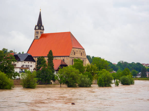
Central-European Regional Floods (Germany)
Central Europe has many big rivers and, for climatic reasons, can experience heavy persistent rains. For example, Bavaria (pilot site) and Germany have many rivers of varying size with an added-up length of about 100.000 km (e.g., Danube, Rhine, Main and Elbe). Severe rain will cause regional floods: the rivers to swell, break dams, flood the area and damage infrastructure. The First Responders (FRs) often lack sufficient information regarding the scale of the flooding event, the size of the affected area and the number of the affected people. Information about the accessibility to settlements in an affected area is crucial for the mission planning and FR reaction.
As a consequence of a lengthy and severe rain in July 2021, several villages in the German pilot-region Ahrtal were flooded. It was the most severe flood in this region of Germany in the last 100 years. This led to many search-and-rescue missions, also involving BRK, that still went on after five days. Roads and bridges were destroyed in the floods. The Ahrtal is a valley situated within a low mountain range, making it vulnerable to
floods, which are expected to occur more frequently in the future due to climate change. The flood model will be set-up for the area and will be calibrated based on information retrieved from historic flood events, including a wide range of multimodal data collected and produced by DLR during the Ahrtal flood. TEMA tools and services will provide information which will be used to warn the responsible authorities, population and PPDRs, and provide information about the accessibility of the affected region (regarding roads, bridges, etc.) leading to improved NDM.
Bayerisches Rotes Kreuz


