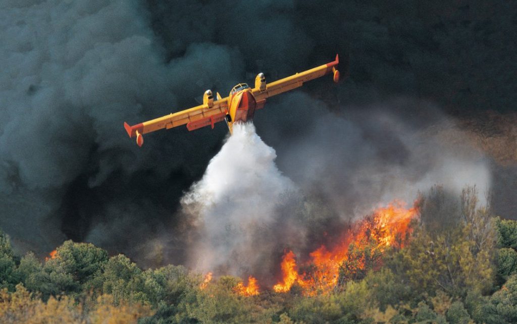

Mediterranean Forest Fires (Italy)
In the case of Sardinia wildfires, aircraft intervention is coordinated by and from the Permanent Unified Operations Room (SOUP), while the Decentralized Functional Center (CFD) is tasked with assessing and issuing bulletins of fire danger. Either or both of these operational rooms can be employed by RAS for validating the integrated TEMA platform. Typical problems encountered by Civil Protection Agencies (CPAs) and FRs are low visibility and health hazards due to smoke, as well as a scarcity of accurate information regarding the wider area, leading to suboptimal response strategies.
A historical scenario will be played out in real-time for TEMA validation. RAS faced a severe crisis on 27th July 2021, when a widespread 15.000-hectare forest fire provoked serious damages at Montiferru (central Sardinia). The fire lasted several days, with several re-ignitions. Data available about the Montiferru area concern vegetation (both current and burnt), geomorphological data, damage details and safety procedures that have been adopted, the output of meteorological models, forecast fire danger bulletins, satellite images, and videos from drones filming the burnt area. Additionally, damage survey cards and geomorphological information, before and after the event, can be used. The TEMA platform will also be used for examining the conditions of post-event territory, with particular regard to the implications for geomorphological risk.
First pilot in Italy
The first Italian pilot trial took place from 16–20 June 2025 in the Montiferru region of Sardinia and tested the TEMA platform during a hybrid real-time wildfire exercise involving prescribed burns, drone operations and live environmental monitoring. Civil-protection authorities, forestry services, firefighters, researchers and technical partners collaborated in a realistic operational setting to evaluate how wildfire simulations, drone-based observations, sensor networks and data-fusion technologies could support firefighting coordination and strategic decision-making.
The exercise successfully validated several core technologies, particularly in the areas of communication, real-time image acquisition, information fusion and geovisual analytics. End-users recognised the value of real-time monitoring, simulation tools and integrated situational awareness, while also stressing the need for improved wildfire prediction accuracy, more reliable operational data and better alignment with the realities of wildfire response. The trial also highlighted the importance of refining drone coordination, updating fuel and weather datasets and strengthening the platform’s operational usability ahead of future demonstrations.
The next pilot iteration will take place in spring 2026.
Regione Autonoma Della Sardegna