Satellite-based Decision Support and Mapping of Floods in Central Europe in September 2024

24 October 2024
Monika Friedemann, software engineer at the German Aerospace Center (DLR) - German Remote Sensing Data Center (DFD)
Marc Wieland, researcher and geospatial software developer at the German Aerospace Center (DLR) - German Remote Sensing Data Center (DFD)
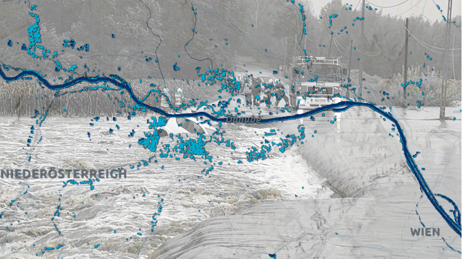
In mid-September 2024, parts of Central and Eastern Europe experienced severe flooding due to heavy rainfall, with Austria, the Czech Republic and southern Poland being the countries most affected. The department for Georisks and Civil Security at DLR supported the work of authorities by providing automated analyses of satellite and public web data.
Satellite-based emergency mapping (SEM) services, such as the Copernicus Emergency Management Service (CEMS) and DLR’s Center for Satellite-based Crisis Information (ZKI) rapid mapping services, provide geospatial crisis information fast and on demand, supporting authorities and responders before, during or immediately following a disaster. To produce timely and accurate map products, such as flood extent maps, service providers need the SEM process to be triggered as early as possible, with well-defined areas of interest (AOIs). Typically, civil protection authorities and emergency services activate the SEM by manually identifying AOIs from various sources, including warnings. However, there is often uncertainty about when the generated crisis information will be available to support operational planning.
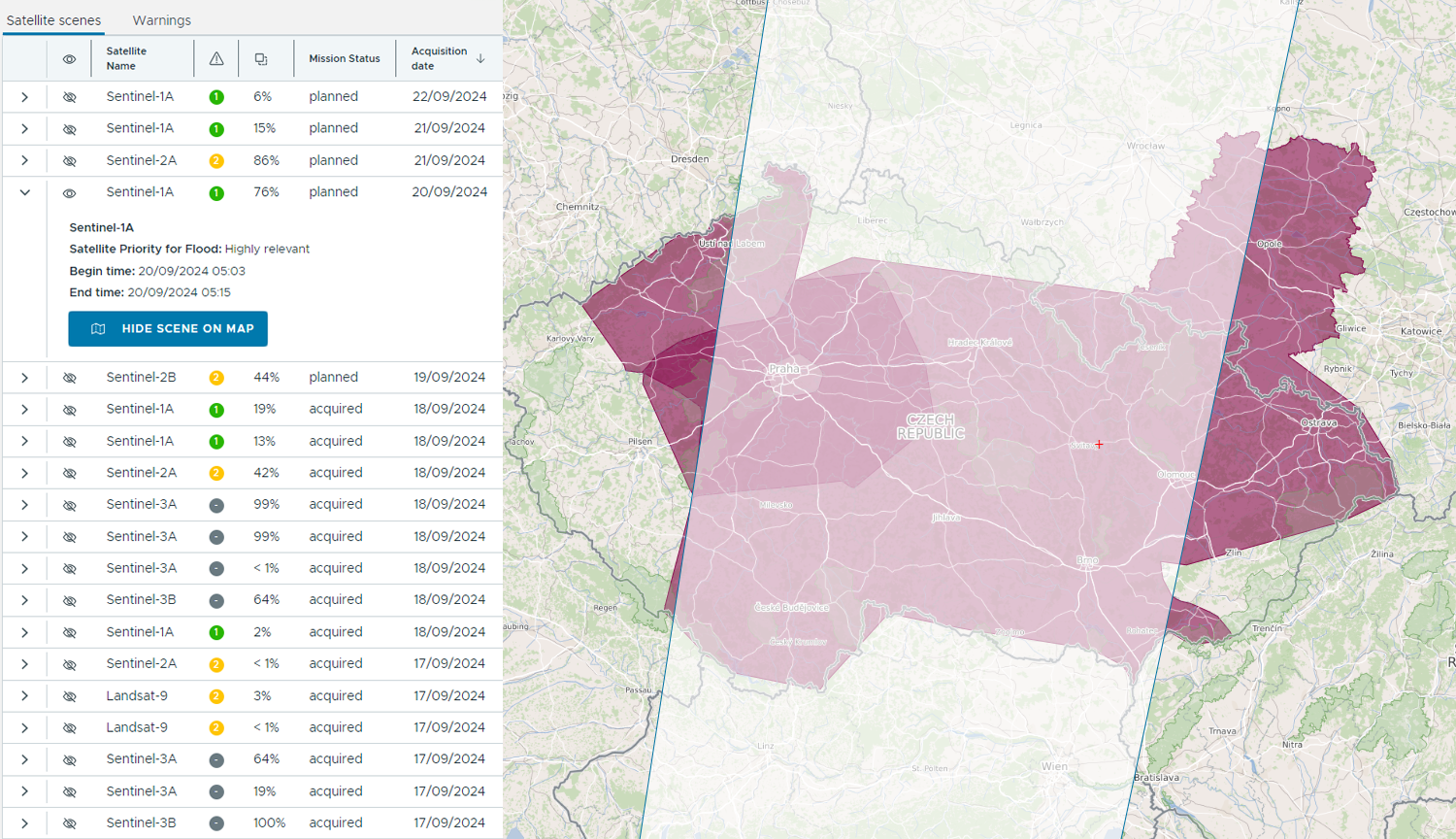
Service providers use acquisition planning tools to intersect the AOI with planned satellite overpasses, identifying the availability of satellite data to capture the AOIs once they get affected by the event.

TEMA project focuses on improving situational awareness for both end users and service providers, hence reducing the time needed from the initial warning to satellite data acquisition to the availability of analysis results. We developed a decision support tool that automatically processes and fuses multi-source web data (e.g. public alerts, sensor observations, weather forecasts), identifies AOIs and intersects them with relevant satellite image acquisitions. This approach improves the end user's situational awareness by automatically generating decision proposals regarding Earth Observation (EO) data and product availability. Decision proposals include a spatiotemporal representation of AOIs and satellite acquisitions, which can be visualised, for example, in a map. The user is supported by transparency on the underlying data sources, the expected (and actual) time of satellite data acquisition, attributes of relevance and overlap of satellites for events.
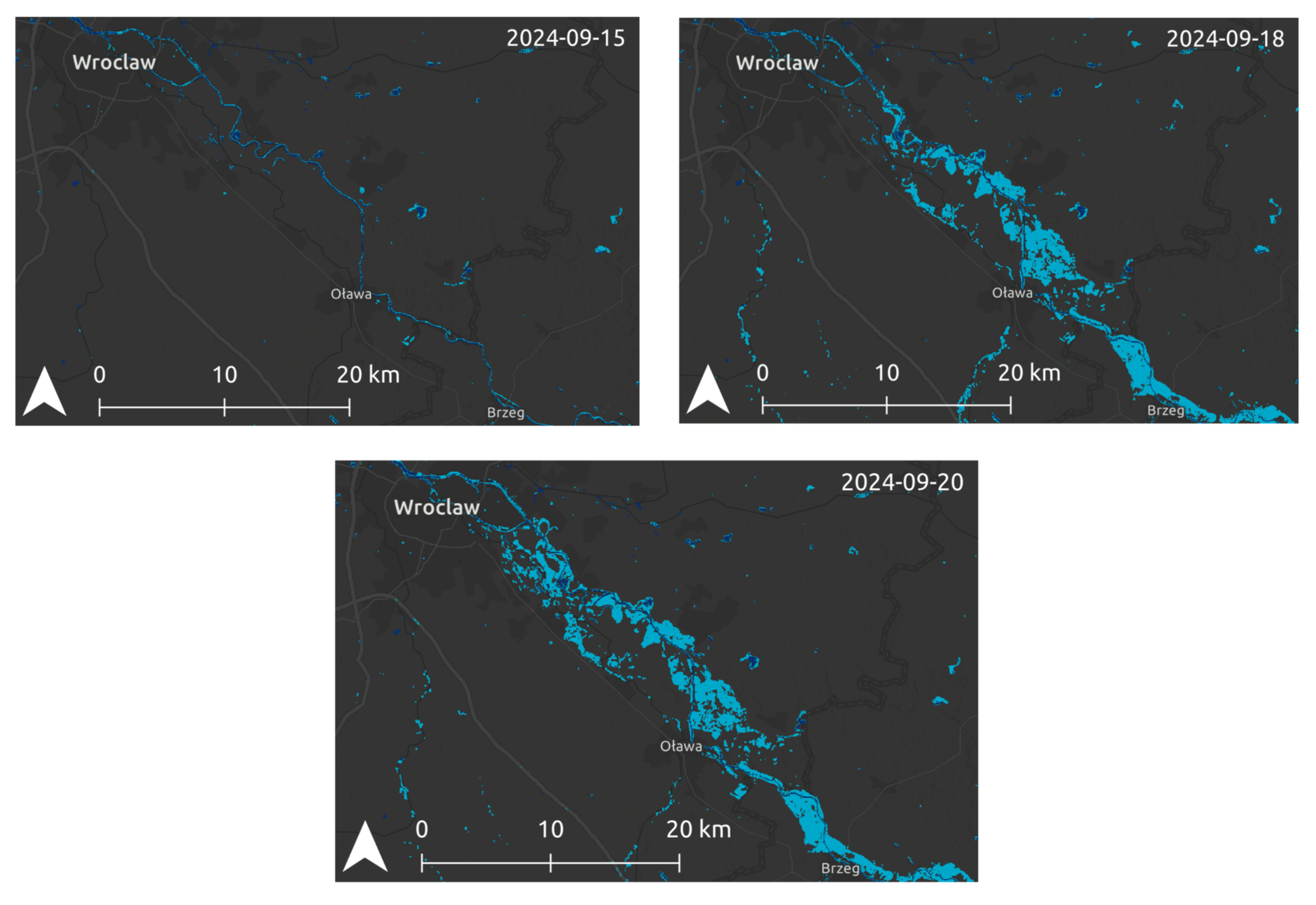
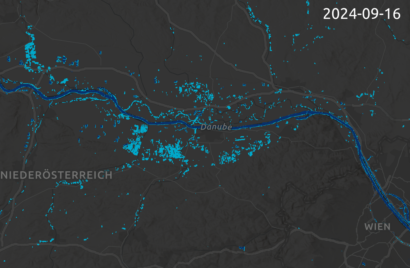
To analyse satellite images for selected AOIs, DLR develops automated processing chains to extract information about the hazard extent. In TEMA, we cover both fire and water related hazards and focus on automating the whole process from satellite data acquisition, preparation, analysis and dissemination. The flood processing chain uses as input freely available Copernicus Sentinel-1 (radar) and Sentinel-2 (multi-spectral) satellite images. These images are acquired by a constellation of satellites, which capture the earth’s surface with an approximate spatial resolution of 10m and a temporal revisit time of 2-5 days (depending on the location of the AOI). Radar sensors can deliver images regardless of weather conditions, while multi-spectral sensors can provide more fine-grained details about the land-water border. The images are prepared and analysed with a pre-trained convolutional neural network for semantic segmentation, which identifies all pixels in an image that are covered by water. To distinguish permanent water bodies from temporary flooded areas (potential hazard zones), we derive a reference water mask from time-series analysis of archive images, which depicts the permanent water over a given reference time period.
For the SEM of the floods in Central and East Europe, we triggered DLR’s flood processing chain to monitor an area >1,000,000km² across 8 countries for 14 days in September 2024. We were able to derive up-to-date flood extents from 384 Sentinel-1 and Sentinel-2 satellite images with minimal time delay between release of the images by the Copernicus Data Space Ecosystem and dissemination of the flood maps. Permanent water bodies were derived by analysis of >7,000 Sentinel-2 satellite images across a 2-year archive processing time range) The resulting flood mapping products were forwarded to the ZKI service, where the most relevant products has been selected for publication: https://activations.zki.dlr.de/en/activations/items/ACT166/.


