

How Drones and Big Data are Reshaping European Firefighting
Efstathios Kassios, Research Associate at KEMEA
As Europe faces increasingly volatile wildfire seasons, the technological frontline has shifted from simple observation to sophisticated, data driven natural disaster management. In 2026, the integration of Unmanned Aerial Systems (UAS) and Extreme Data is no longer a futuristic concept, it is the new standard for European civil protection, ensuring citizen safety and environmental resilience.
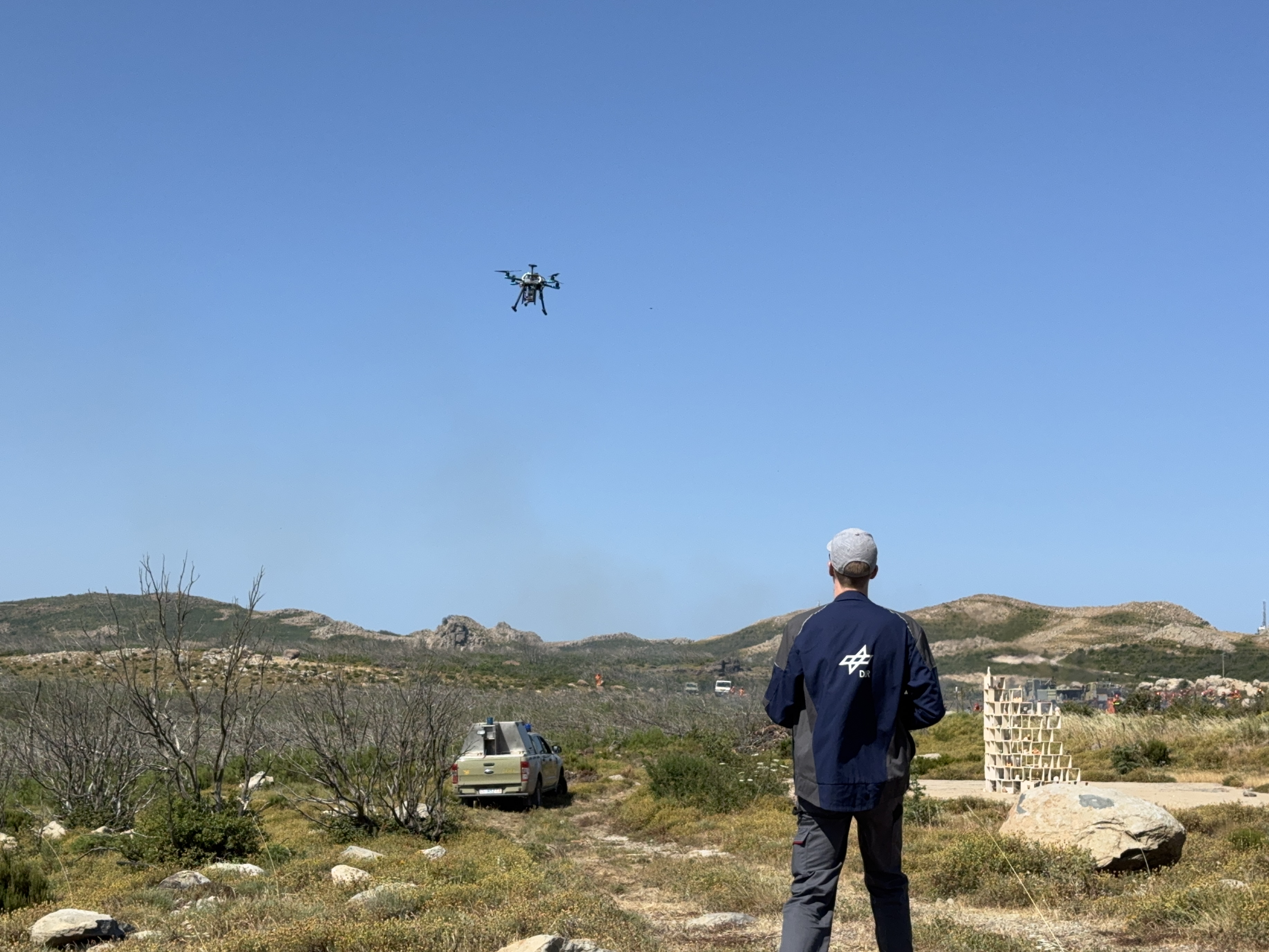
An important trend across Europe is the shift from single drone operations to autonomous drone swarms. The days of one pilot per drone belong to the past. Today, networked fleets can monitor thousands of hectares simultaneously. These swarms utilize Edge Computing, processing thermal and visual data. Instead of overwhelming command centers with raw footage, these drones use integrated AI to identify critical anomalies (for example early spot fires) and alert responders in seconds to contain the fire.
Europe is also leading the global shift toward Semantic 3D Mapping. By fusing drone captured data with remote sensing and Satellite data (like the Copernicus satellite system and real-time IoT weather sensors), agencies now create Digital Twins of the landscape. This allows for predictive modeling where AI simulates the fire’s trajectory based on vegetation moisture and topography. This trend toward predictive firefighting allows commanders to position fire brigade officers and assets where the fire develops, rather than where it has already been, reducing the risk for forces on the ground.
We are also seeing a surge in heavy lift UAVs. These cargo drones can deliver hundreds of liters of fire retardant or emergency supplies to inaccessible locations, reducing the risk to put human pilots in manned aircraft in high risk zones (last year’s accident with Greek fire fighter pilot). Furthermore, standardized EU drone regulations now allow for seamless cross border interoperability. An Italian drone unit can now deploy in Greece and instantly integrate into the local digital command structure, a level of cooperation that was impossible just years ago.
While these hardware trends provide the "eyes" and "hands," the TEMA EU Project (Trusted Extremely Precise Mapping and Prediction for Emergency Management) provides the "brain." TEMA addresses the primary challenge of modern disasters: Data Overload. In a major fire, the volume of data from 4K drone feeds to geo-tagged social media posts is overwhelming. TEMA’s platform specializes in Extreme Data Analytics, fusing these massive, heterogeneous datasets into a single, trusted operational picture.
Crucially, TEMA focuses on Explainable AI (XAI). For a fire chief to trust a drone derived prediction, they need to understand the logic behind it. TEMA ensures that when the system suggests a specific firebreak or evacuation route, it provides the rationale, bridging the gap between high tech "Extreme Data" and the life saving decisions made by end users on the ground. By refining this intelligence, TEMA ensures that Europe’s latest drone trends translate into real-world resilience.
Sources: