
Augmented images for historical data testing with realistic data
Ricard Munné, Senior Project Lead at Bull
When it comes to test an emergency management solution for natural disasters, like TEMA, it is crucial to test the solution in several scenarios, but at the same time it is extremely difficult to perform a test right in the place and time where a natural disaster is happening, as there is no such warning with enough time and enough resources to plan the deployment of a test unit for such situations. Other alternatives are to use prescribed fires, but these do not have the context of a real scenario and are limited to specific situations to improve security to avoid future fires.
However, with the current prevalence of communication and information systems that are normally deployed with emergency units, there is the possibility that most data related to the disaster is captured, which can be later used to tests such solutions like TEMA without using, for example, prescribed fires as described above. In this regard, Sardinia Civil Protection service had access to historical data from the forest fire that started in the vicinity of state road 125 close to Posada, Sardinia, at 13:56 h on the 6th of August 2023. Given this information that recorded the progression of the fire, together with a later capture of drone images over the affected zone, this provided the basic information for an historical reproduction of the disaster within TEMA. The only missing information was drone images captured during the fire, that could be captured in the event of a TEMA-ready emergency unit.
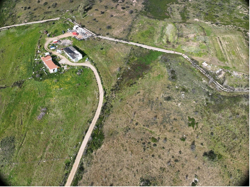
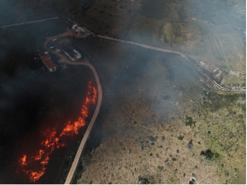
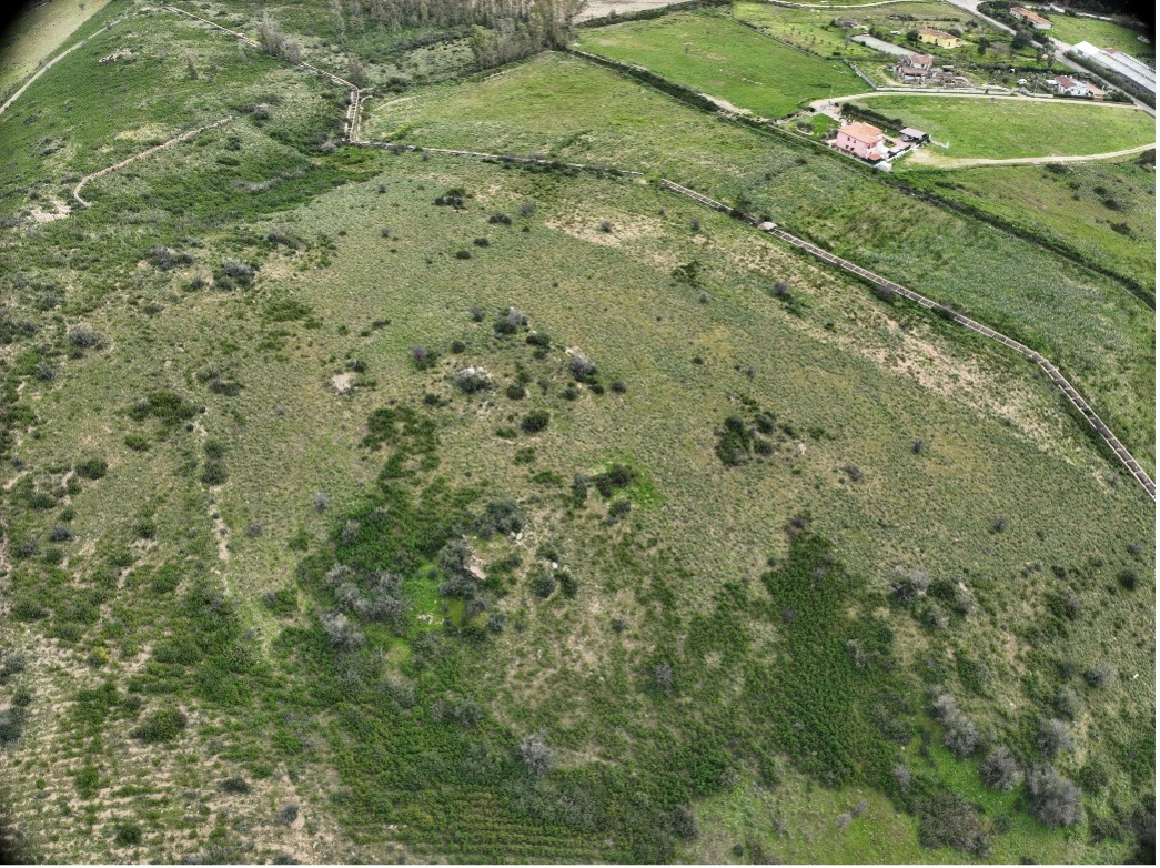
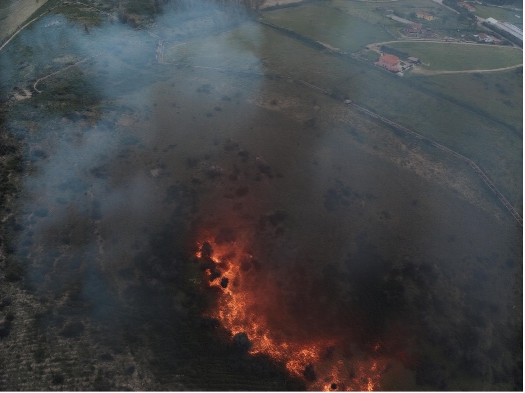
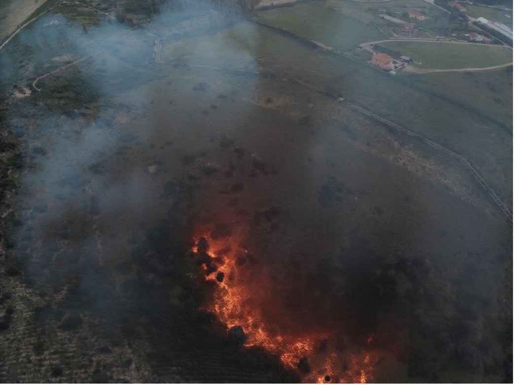
To supply this piece of data, Bull had the capacity to augment the burnt area to include similar images as if the fire was captured live. To perform this, an image augmentation process was performed using diffusion models, and finally copying the metadata from the original images, providing realistic fire images based on a post-fire capture of the area.
The augmented images were introduced in TEMA workflow as if they had been captured live during the fire episode, while reproducing the previously recorded historical data. In the Sardinia’s 2nd pilot, these images were used to test the system under realistic fire like conditions, providing the platform with all information needed for testing and demonstration of the technologies.
Following two examples of drone captured images of previously burnt area and the corresponding augmented image with the fire simulation over the same picture.