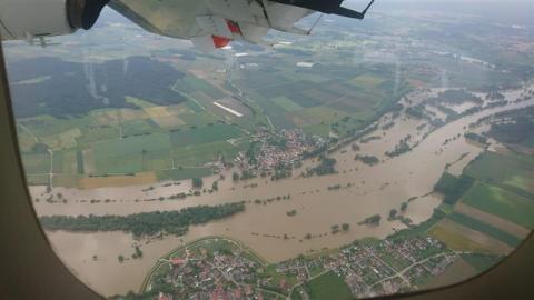
Coordination of Satellite Mapping in the Field During the Flood in South Germany in May and June 2024
In May 2024, southern Germany experienced relentless heavy rainfall for several days, particularly affecting the regions of Baden-Württemberg and Bavaria. For effective mission planning, it is crucial for teams to have access to up-to-date data, including maps, satellite images and orthophotos. This information is provided by the Center for Satellite-Based Crisis Information (ZKI) of the German Aerospace Centre (DLR).


