Wildfire Mapping Using SAR-Derived NBR through Generative Adversarial Network
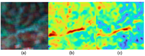
This article explores the efficacy of a novel approach to wildfire severity mapping by integrating SAR imagery and Generative Adversarial Networks (GANs). By employing a method that processes SAR data from the Sentinel-1 satellite to simulate optical-like images.


