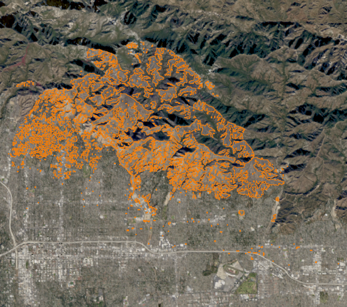
Multi-sensor Near-Realtime Burnt Area Monitoring of the devastating Palisades and Eaton Fires
3 April 2025
Michael Nolde, researcher at the German Aerospace Center (DLR)
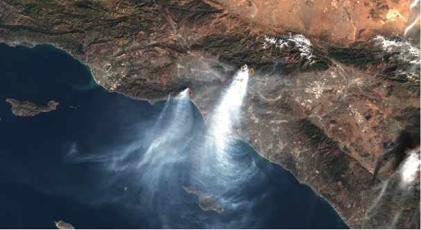
Starting on 7 January 2025, several severe wildfires raged in the Greater Los Angeles area. The department for Georisks and Civil Security at the German Aerospace Center (DLR) prepared damage assessment maps through automated analyses of satellite data. Burnt area perimeters could have been derived in near-real time after the acquisition from the Copernicus Data Space Ecosystem.
The Los Angeles wildfires caused 29 fatalities, destroyed over 16,250 buildings, and burned more than 200 km² of land. Damages are estimated at tens of billions of US dollars. The most devastating fires were the Eaton Fire (17 fatalities, over 9,400 buildings destroyed) and the Palisades Fire (12 fatalities, over 6,800 buildings destroyed). Only the 2018 Camp Fire caused more loss of life and property.
Timely burnt area related maps can be obtained by the Copernicus Emergency Management Service (CEMS) or the International Charter of Space and Major Disasters, in case an activation was triggered. For Europe, the Copernicus European Forest Fire Information System (EFFIS) provides burnt area perimeters twice a day during business hours. However, these products are not automated and require human interaction, which causes a delay between crisis occurrence and map availability.
To mitigate this issue, DLR develops automated processing chains to extract information regarding a given hazard. In TEMA we cover both fire and water related hazards and focus on automating the whole process from satellite data acquisition, preparation, analysis and dissemination. The fire processing chain is designed in a sensor-independent way, making it applicable for every optical sensor featuring information from the red and near-infrared spectral domain. This utilization of multiple sensors greatly decreases the time between satellite overpasses. Mid-resolution imagery is available multiple times per day, however, the spatial ground resolution spanning from 250m to 375m is rather coarse. We use the Aqua/Terra MODIS instrument, as well as the Sentinel-3 OLCI and Suomi-NPP VIIRS instrument, amongst others. High resolution imagery (10m to 30m) is better suited for detailed mapping, but is only available every 2 to 5 days. Sources comprise the Sentinel-2 MSI sensor, as well as Landsat 8/9 OLI and the DLR EnMap HSI instrument. By combining both the mid-resolution and high-resolution domains, it is possible to acquire automated, rapidly available results from the mid-resolution domain, which can later be refined with high resolution imagery once it becomes available. Apart from the mere perimeter, the generated maps also contain information about the burn severity which allows further insight regarding damage assessment.
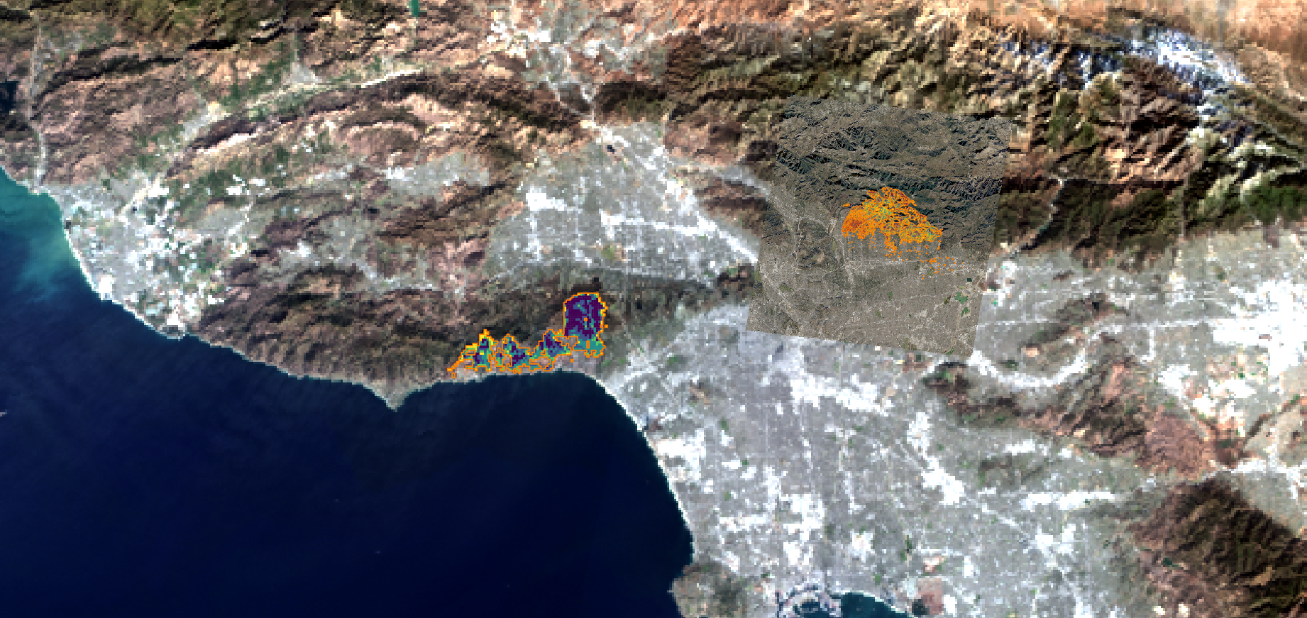
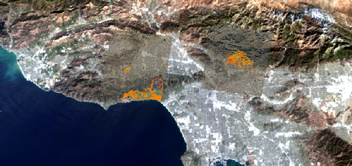
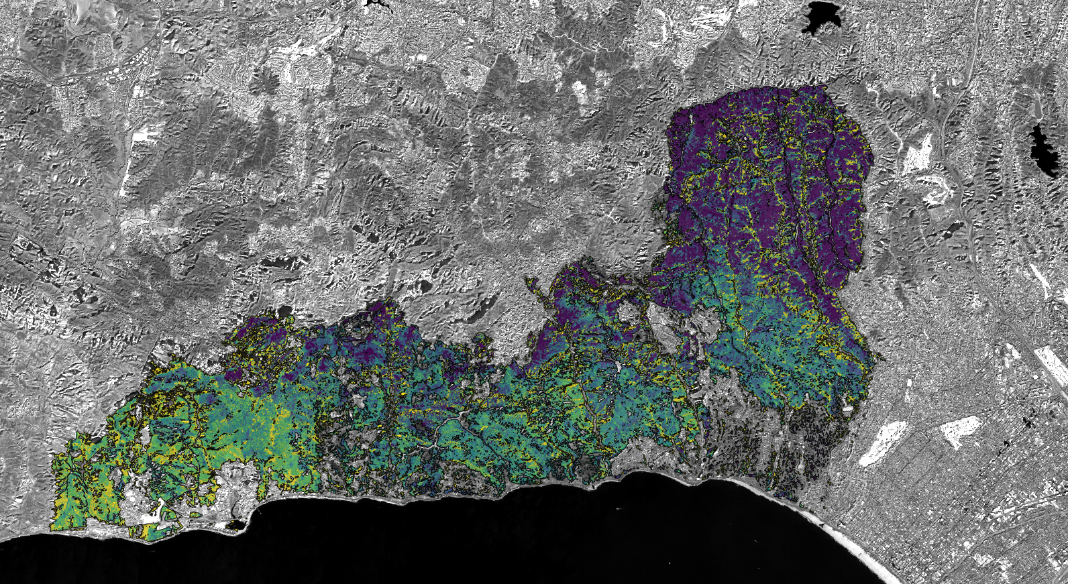
The satellite scenes are analyzed using a superpixel approach in combination with a Graph Convolutional Network (GCN). The node classification model is trained on-the-fly to identify all superpixels covering a burnt area.
For the California wildfire case, we have triggered DLR’s burnt area processing chain to monitor the area for multiple mid- and high-resolution sensors. We were able to derive burnt area perimeters in near-realtime after the acquisition from the Copernicus Data Space Ecosystem.
